Great Way to Riudellots
- Signage:
-
Difficulty:


- Length:
 4 miles
 - Slope: Positive 82 ft
- Type of activity:

- Typology: Linear
- Duration:
 By bike: 30 minutes –On foot: 90 minutes
A short route of medium difficulty that we can do on foot or by bike. The Vía Augusta path follows the original outline of this important Roman road, with an approximate length of 932 miles and connected the cities of Rome and Cádiz.
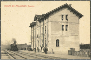
The path starts in Caldes de Malavella, a town with a rich architectural, historical and thermal waters heritage. Historically, the Vía Augusta was one of the most important routes in the field of trade and communications between cities, provinces and ports of the Mediterranean, always seeking an outline that would make the most of natural corridors and less difficult passage zones.
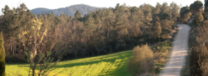
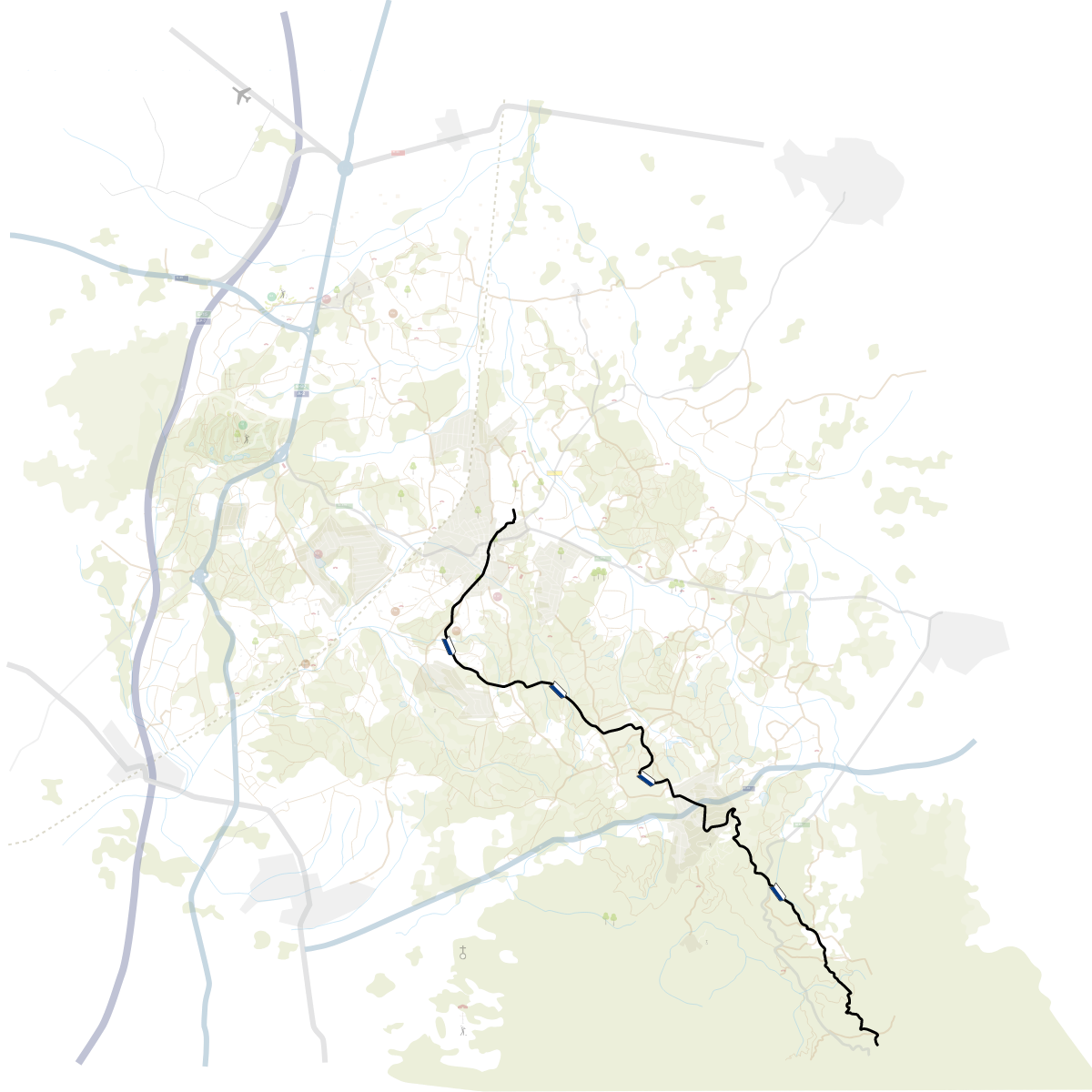
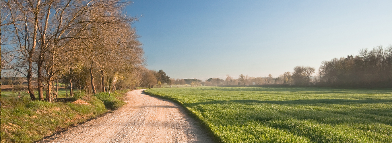
We can start the tour at Caldes de Malavella Tourist Office. To get onto path, we need to leave the town on calle Girona, where we will find the first sign pointing, to the north, the way to Riudellots de la Selva. This first section between Caldes de Malavella and Can Solà Gros runs along a paved road, but with little traffic. The path follows the Vía Augusta route between the cities of Caldes de Malavella and Riudellots de la Selva. Despite being a path that is not at all complicated to follow, the section between Caldes and the area of Camps de l’Onyar is not yet painted with the Vía Augusta markings (yellow and blue) and only has four vertical signs.
We will always follow the main path and will never leave it, except when indicated by the vertical signs. Approximately halfway there (1.9 miles), the path crosses the train track via a bridge and after 1.2 miles, we will find a crossroads whose sign points the direction to follow to reach Riudellots de la Selva.
From this point, we can take a detour to see the Ponça Tower, a privately owned 16th century fortified farmhouse some 3,937 feet from the path by following the signage for Sant Mateu de Franciac and Vilobí d’Onyar. If we follow this very sign, 6,652 feet from there you arrive at the St. Mathew of Franciac Parish Church, known since the 13th century and extensively renovated in the 18th century. Back on the main route, we continue on the final section towards Riudellots de la Selva, passing through a zone characterised by a variety of farmhouses and existing agricultural fields. This section runs along a paved road, but with light traffic. Shortly before arriving at the centre of Riudellots de la Selva, the path crosses the River Onyar, which drains part of the Selva plain.
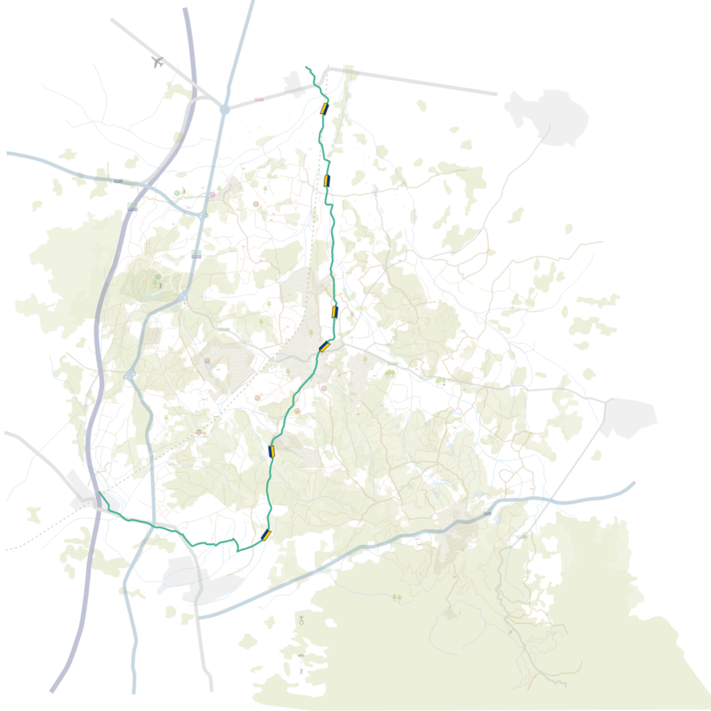



 8-9 hours
 22 miles