Camps de l’Onyar Route
- Signage:

-
Difficulty:


- Length:
 9.8 miles
 - Slope: Positive 82 ft
- Type of activity:

- Typology: Circular
- Duration:
 By bike: 60 minutes
One of the easiest itineraries to do on bike of the entire mountain biking center of the Selva.
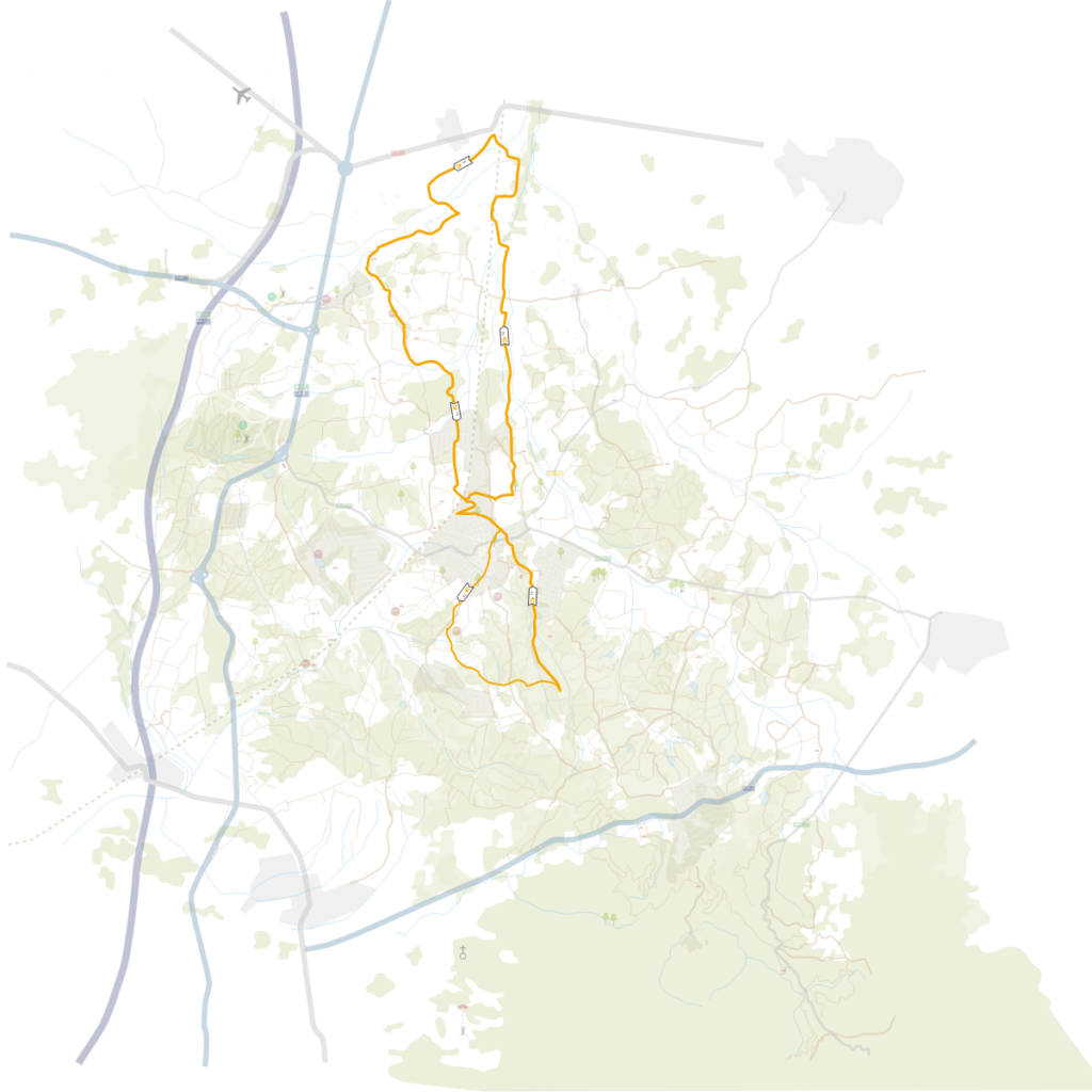
It is a short route that is only 10 miles long and that we can do in 30 minutes. It runs between Caldes de Malavella and Riudellots de la Selva municipalities, through an entirely flat territory.
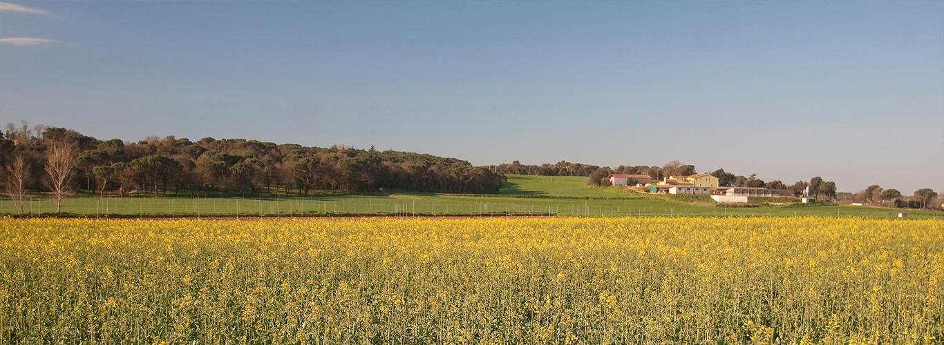
This route starts in the sports area of Caldes de Malavella, in front of the sports pavilion and very near the police station. The first section of the route primarily goes through part of Caldes de Malavella town centre, until it exits the town in the direction of Riudellots de la Selva, via a path with very little traffic that allows us to enjoy interesting views of the landscapes of the Selva plain, agricultural fields, remnants of forests of the plain, etc., as seen in the photo. Approximately halfway, the route is situated parallel to the River Onyar, again amidst agricultural fields. Further on, we can see the Ponça Tower, a 16th century fortified farmhouse and a few feet further ahead, we can see the St. Mathew of Franciac Parish Church, known since the 13th century and which gives its name to the entire neighbourhood. This itinerary shares the start with the Sant Maurici Route, which can serve as a complement if we still want more.


 2 hours
 5,6 miles

