Great Way to Vidreres
- Signage:
-
Difficulty:


- Length:
 3,9 miles
 - Slope: Positive 148ft
- Type of activity:

- Typology: Linear
- Duration:
 By bike: 20 minutes – On foot: 90 minutes
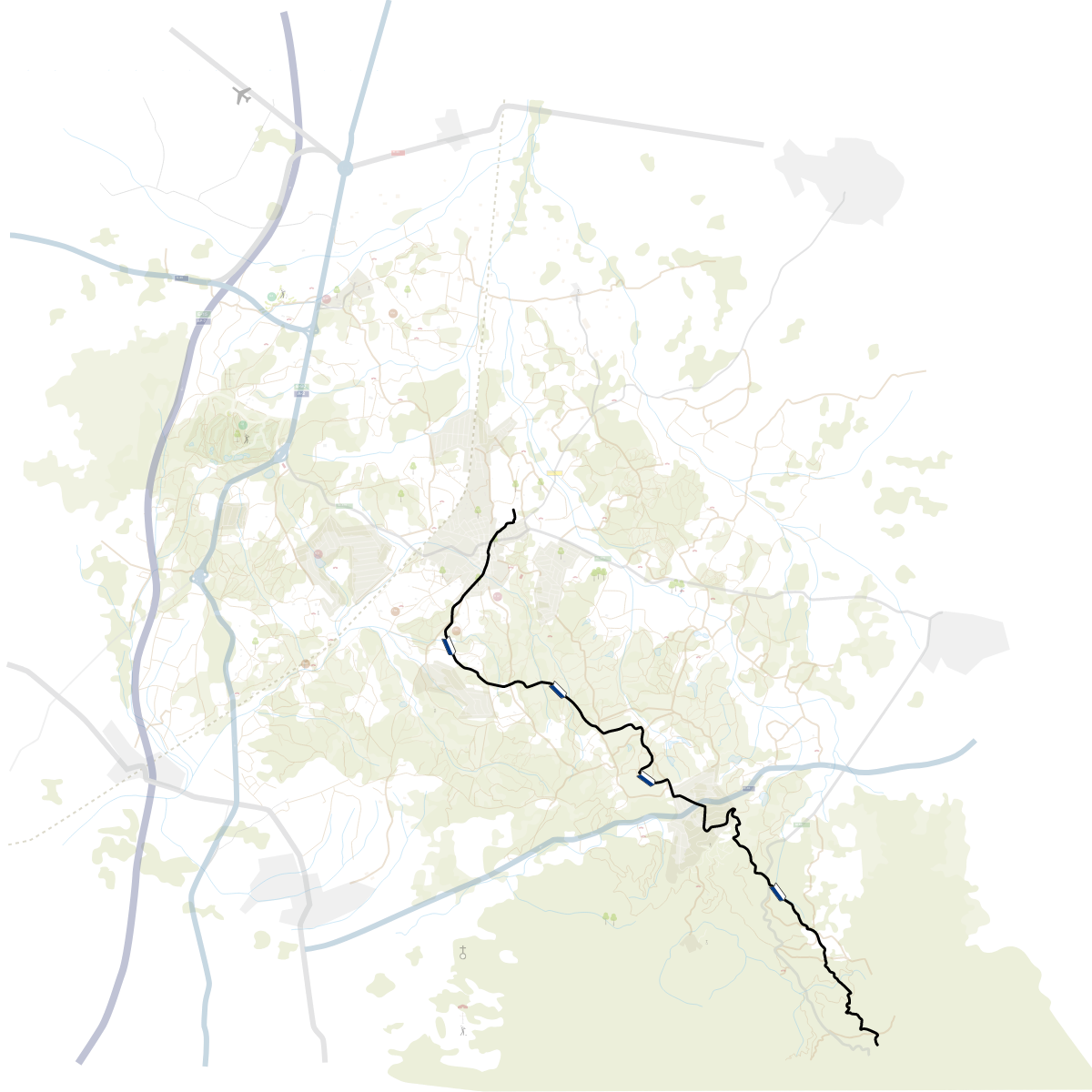
A short route of medium difficulty that we can do on foot or by bike.
The Vía Augusta path follows the original outline of this important Roman road which, at approximately 932 miles long, connected the cities of Rome and Cádiz.
Historically, the Vía Augusta was one of the most important routes in the field of trade and communications between cities, provinces and ports of the Mediterranean, always seeking an outline that would make the most of natural corridors and less difficult passage zones.
From the Tourist Office, head towards calle de Sant Maurici to get onto the path, which we will follow in a southern direction. In this direction, we will get close to the Malavella Parc urban development and just as you leave the town of Caldes de Malavella, we will find the first sign.
Despite not being signed with paint, it is a section of the Vía Augusta, which is shown in the overhead banners. Following it presents no difficulty, since we must always follow the main path and never leave it, except in the approach to the Malavella Parc urban development, where you have to take the forest path on the right and not enter the urban development. Some 492 feet further ahead, we will find a fork in the road. The path that ascends to the left arrives at St. Maurice Sanctuary (1,968 feet away) and at the remains of Malavella Castle. The path that continues straight ahead will take us to Vidreres.


 2h
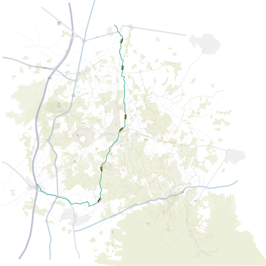
2h 5,5 miles