Rambla de Benaula
- Signage:

-
Difficulty:


- Length:
 5,5 miles
 - Slope: Positiuve 131 ft
- Type of activity:

- Typology: Circular
- Duration:
 2h
2h
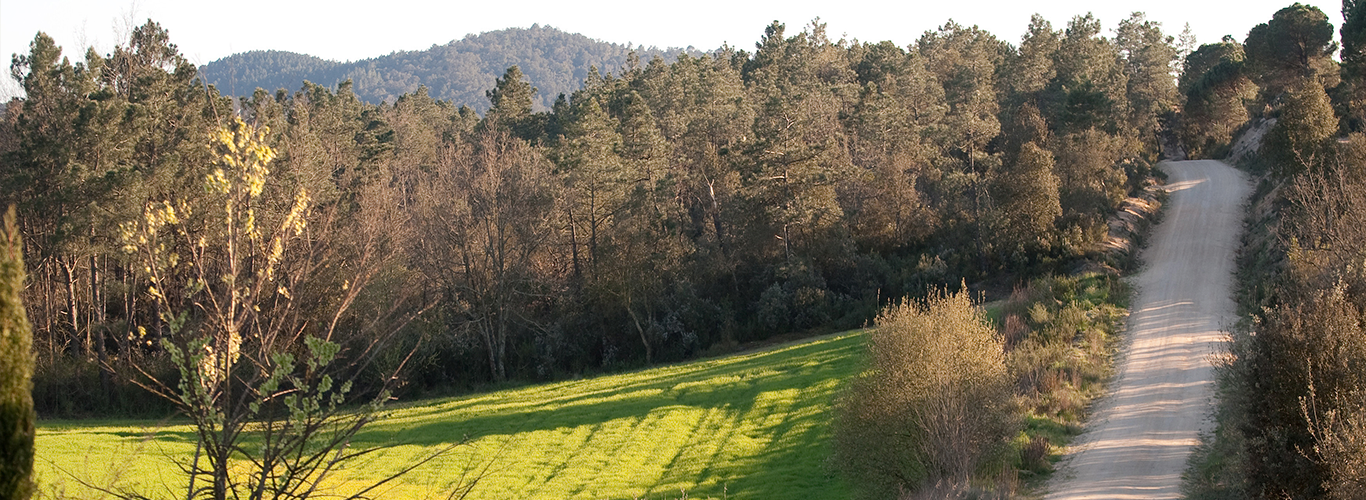
A different route where we can find a lot of vegetation, agricultural fields, forests and rural farmhouses. Ideal for an outing with the kids.
Tour that starts from the town centre up to rambla Benaula and the surrounding agricultural fields. It passes by different farmhouses, crossing forests and fields.
The path starts at the end of calle de las Roques and ascends amidst the pine trees, where we will find a sign. After some 1,968 feet, we arrive at the Aigües Bones urban development and take the first path that descends (calle de la Benaula). We take a detour to the left and find a path amidst the grass in the direction of the highway. Once we have crossed the Llagostera highway, we take a dirt track and after passing over the bridge above the rambla, we enter the forest via a path to the right. Here there is another sign. We continue along the route to the right and leave the forest to exit at agricultural fields. We again cross the Caldes – Llagostera highway and follow the track. The last section of the path coincides with the Hermitage Route. We leave the Hermitage Route and take a detour to the right where we find a sign. After 0.6 miles, turning left, we leave a farmhouse and some fields to the right. After passing by two more farmhouses, we take a path to the left and enter the forest. After around 2,297 feet and crossing the forest, we again exit at the Aigües Bones urban development and continue along the straight street. Turing left, we find the track that takes us to Caldes de Malavella. After passing the cemetery, we arrive at the point of departure.


